|
|||||||

|
Mount Ararat Trek Dogubayazit, Agri, eastern Turkey Mountain Climbing ~ Film Expeditions ~ Cultural Tours ~ Searching for Noah's Ark |
||||||
| Home | Mountain Treks | Cultural Tours | Map | Contact | Warnings! | Stories | |
Mount Ararat Location Country: eastern Turkey Region: Anatolia Province: Agri Closest city: Dogubayazit Population: 85,000 Latitude: 39.7 N Longitude: 44.3 E Elevation: 5,137 m; 16,854 ft Iran: 16 km Armenia (border closed): 32 km Georgia: 315 km Istanbul: 1500 km by road 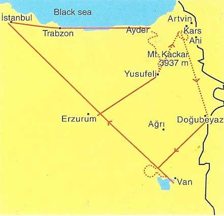  Fly to Igdir, Agri, Van, or Kars airports to go to Dogubayazit. Fly to Igdir, Agri, Van, or Kars airports to go to Dogubayazit.
|
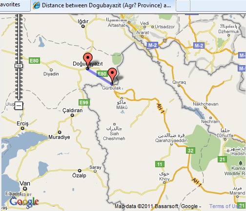
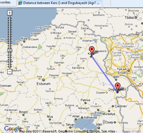
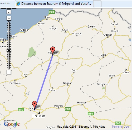
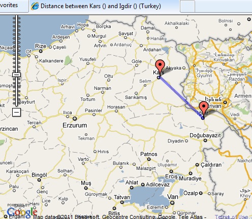
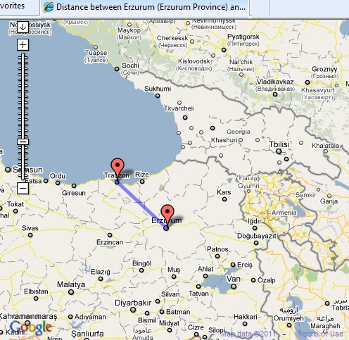
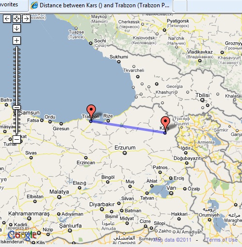
Click to calculate distance between cities in Turkey. Close window tab to return here.
Airlines: (check baggage restrictions before booking)
Land: |
|||||||
|
Maps of eastern Turkey. Click to enlarge map. Close window tab to return.
|
||||||
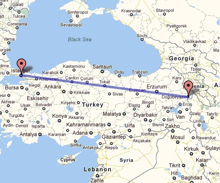 Istanbul-Dogubayazit 1500 km
|
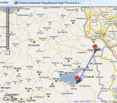 Dogubayazit-Van 180 km
|
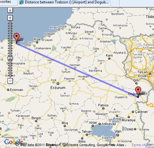 Trabzon-Dogubayazit 498 km
|
||||
|
|
||||||